From site visit to structured GIS-ready data, done by AI.
Inspectors capture photos, video, voice notes and GPS on site. Inspectial's AI turns that evidence into evidence-linked observations: it finds and codes the defects and writes the structured inspection record. A qualified reviewer approves every finding, and the approved, GIS-ready data goes straight into your asset systems.
Capture in the field. AI structures the evidence. A human approves. Export.
Pre-launch. Now onboarding a small group of drainage inspection teams.
Product preview: a web map of the Route 12 drainage project, with stacks of geotagged field photos pinned at each culvert site and a sidebar listing each site's review status.
The site visit is the quick part. The paperwork is not.
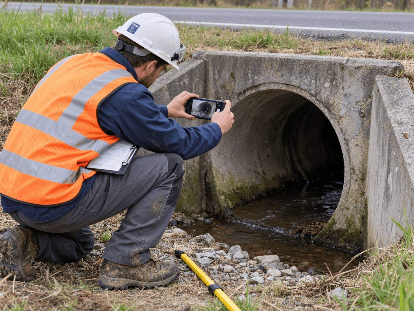
A single culvert visit comes back as a pile of loose evidence. Someone in the office then sorts it, matches it to the asset, codes each defect by hand, writes the report, and updates the GIS.
Field work and office work stay disconnected, and the condition data your asset system needs is the last thing to get done.
Open any site to see how its photos become a structured record.
- deformation
- none visible
- IMG_4821
- joints
- unclear
- IMG_4822
- flow
- clear
- IMG_4821
- headwall base
- moss, staining
- IMG_4821
- riprap
- displaced (possible)
- IMG_4821
How it works
One workflow from the site visit to the asset system. AI does the coding; people make the call.
-
Capture offline, with location
The field app guides the inspector through the required evidence: photos, video, voice and notes. Each item is stamped with time, GPS and asset ID. No signal needed; it syncs later.
-
AI structures the evidence
Evidence is grouped by asset and component, and turned into bounded observations: defect type, severity, confidence, and the evidence each one came from.
-
A reviewer approves
An engineer checks each finding next to its photos, then approves, edits or rejects it. The record always shows what the AI suggested and what a person verified.
-
Export to your systems
Approved data goes out as GeoJSON, CSV, a PDF report or through the API, into the GIS and asset tools you already use.
AI creates the inspection record, not just the report
Keep your ArcGIS or asset system. We automate the inspection-coding layer in front of it, under rules you can trust.
Field app preview: a map of today's route with culvert markers by inspection status, working offline, with culvert C-1046 selected and ready to inspect.
- Evidence first
- Every observation references the photos, clips or notes behind it. A finding never exists only as an AI sentence.
- A human approves
- AI proposes; a qualified person decides. Inspectial is not an autonomous inspector, and only approved inspections become official records.
- Location is first-class
- Evidence, observations and assets carry coordinates, so the output drops onto a map without cleanup.
- Offline-first
- The full capture flow works in a ditch with no signal. Data syncs when the connection returns.
- Structured data over documents
- The dataset is the source of truth. Reports are generated from approved observations, never written straight from the media.
- Configurable, not custom-built
- A new inspection type is a template: evidence checklist, observation schema, AI rules and report format. Not a new app.
Who it's for
Anyone who captures photo or video evidence in the field and has to write it up afterwards. We're starting with drainage.
First focus
- Drainage and culvert inspection contractorsYou already have crews, cameras and reporting workflows. Inspectial is designed to cut the time spent coding footage and writing reports.
- Municipalities and counties with small GIS teamsGet condition data that lands in your GIS without someone re-keying it.
- Road maintenance contractorsInspect long runs of structures along a route, with status and priority per asset.
Inspection packs
- Culverts and drainagePilot
- BridgesComing
- Utility polesComing
- RoofsComing
- Construction QAComing
Outputs and integrations
Inspectial feeds the tools you already run. It doesn't ask you to move your asset data anywhere.
Formats
- GeoJSONMVP
- CSVMVP
- PDFMVP
- REST APIMVP
- Excelplanned
- Shapefileplanned
- GeoPackageplanned
Works with
- ArcGISplanned
- QGISplanned
- PostGISplanned
- MapLibreplanned
MVP: available in the first release. Planned: on the roadmap, not yet built. Until native connectors ship, GeoJSON and CSV load directly into most GIS tools.
Join the pilot
We're onboarding a small number of drainage inspection teams for a pilot. Tell us what you inspect, roughly how many structures a year, and which GIS or asset system you report into.
pilot@inspectial.com
- Bring real inspections: photos, video and the reports you wrote from them.
- We set up a drainage template that matches your existing condition codes.
- You review the AI's structured output against your own findings.
- Exports go to GeoJSON, CSV or PDF in the format you need.